1
Collect
The video stream provided by the drone can be analyzed directly in real time or broken down frame by frame, depending on mission requirements and available processing capacity.
RiverShield AI brings regular aerial monitoring, earlier risk identification and continuous surveillance support for aquatic environments.
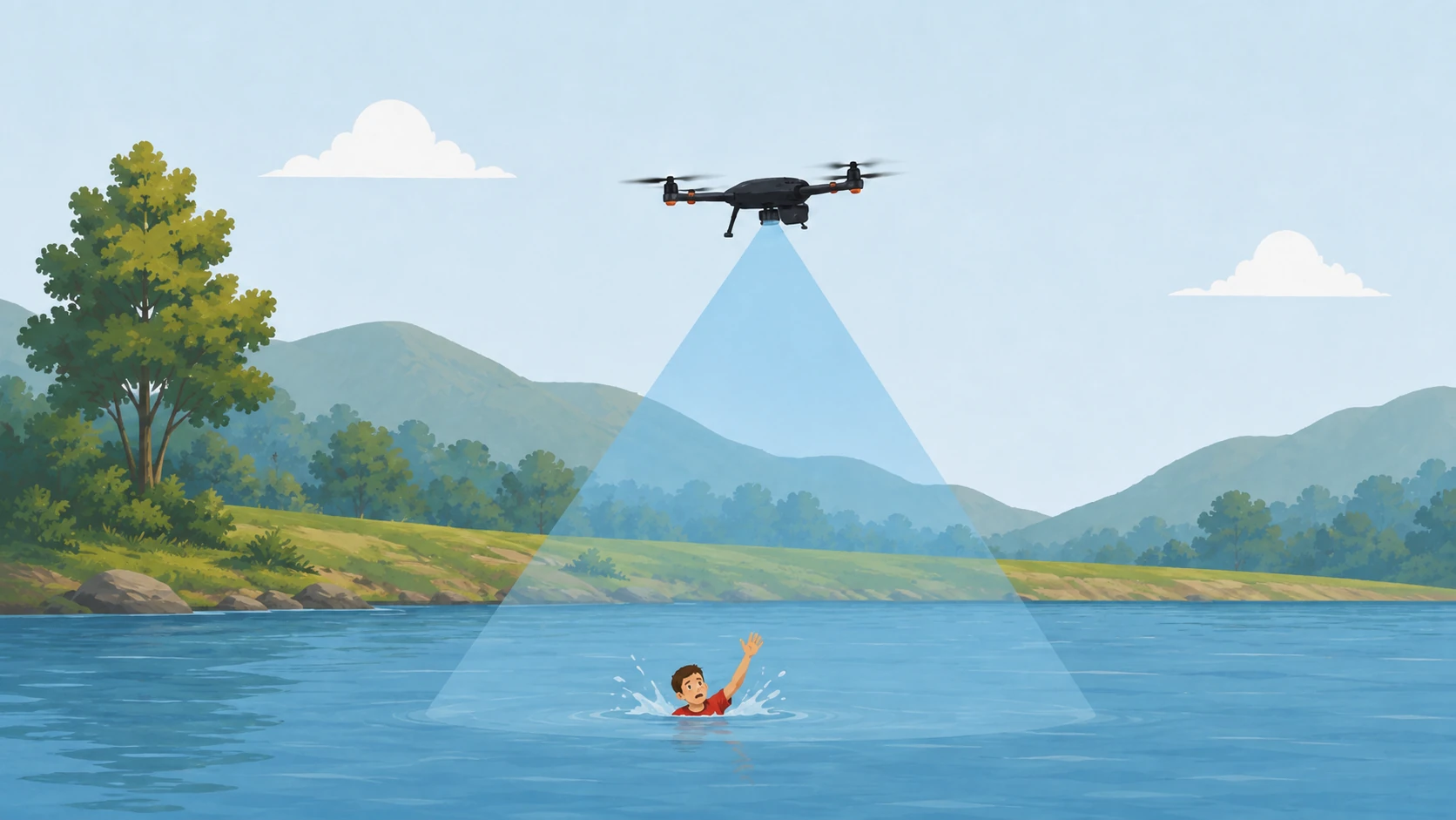
RiverShield combines autonomous aerial monitoring with artificial intelligence tailored to each environment and mission.
RiverShield provides autonomous, scheduled aerial monitoring. The solution can automatically blur protected or irrelevant areas while detecting people in distress, unauthorized presence or unusual situations.
This section presents how the system works, the artificial intelligence models and the test results.
The video stream provided by the drone can be analyzed directly in real time or broken down frame by frame, depending on mission requirements and available processing capacity.
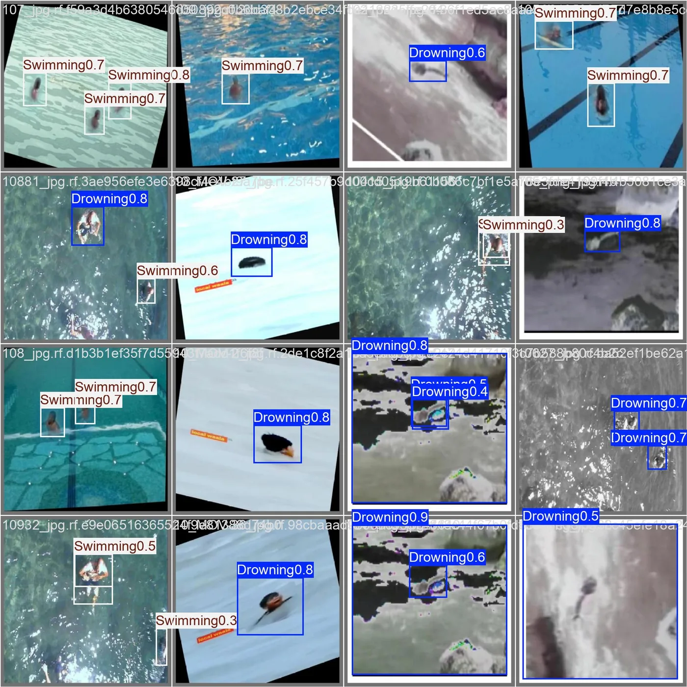
The artificial intelligence segments the water area, blurs irrelevant zones, applies a closer view to useful areas when needed, and then detects people using the workflow illustrated by the prototype results shown below.
When a drowning-risk threshold is reached, a notification identifying the relevant area is sent to the qualified service so that it can verify the situation before any intervention.
Autonomous lifeguard support: detection, alert and towing. A drone-assisted towing concept designed to bring flotation or rescue equipment closer to a person in distress. Inspired by the DJI Agras T100 lifting system, it remains subject to dedicated testing, safety assessment and operational approval.
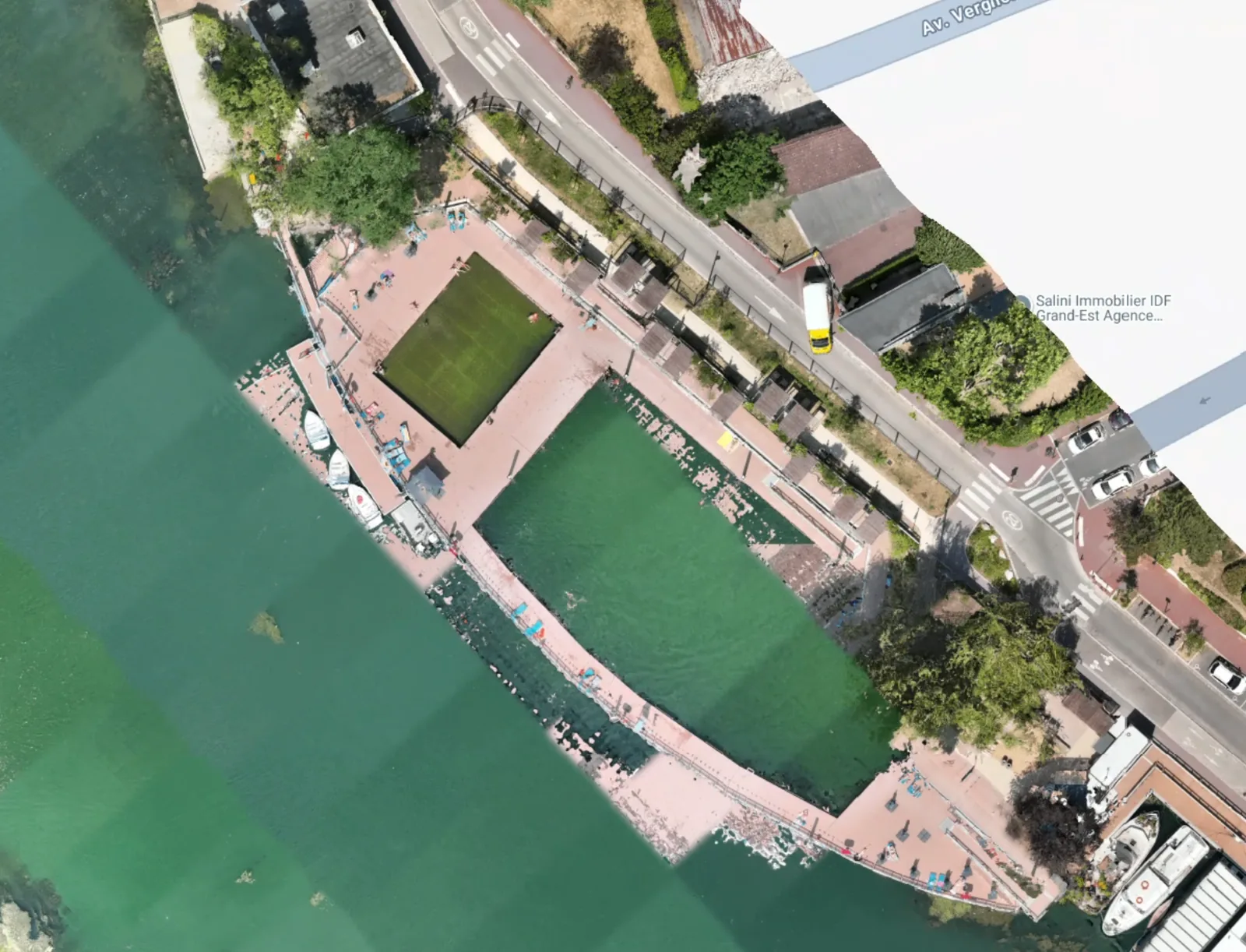
This raw image from a field mission supports the research and development work. It is used to test capture quality, framing of aquatic areas and preparation of future automated analysis workflows.
This mosaic shows prototype results from model training. The “Swimming” and “Drowning” labels illustrate the first capabilities for distinguishing normal swimming from a potentially critical situation, together with a confidence score.
This section uses visual cards to present the main application environments clearly.
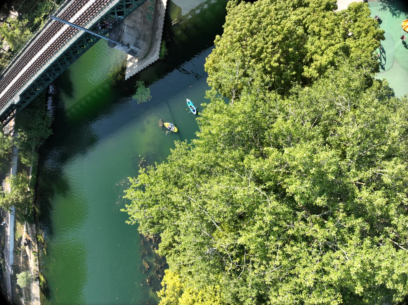
Example of monitoring a waterway with nautical activity and areas partially obscured by the environment.
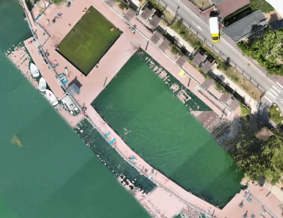
Example of a swimming area or water sports facility with an aquatic zone suitable for analysis and alert missions.
Get in touch with our team to discuss a pilot project, partnership, demonstration or investment opportunity.
An autonomous aerial monitoring concept dedicated to risk anticipation, detection, alert and assistance on open waterways.
Use the contact form to present your needs and start a discussion with our team.
Tell us about your needs so our team can get back to you.